Richiesta di un preventivo di spedizione
Calcoleremo il prezzo di spedizione non appena ricevuta la tua richiesta.
Richiesta di un preventivo di spedizione
Calcoleremo il prezzo di spedizione non appena ricevuta la tua richiesta.
Potrebbe interessarti anche
Altri prodotti di questo fornitore
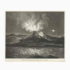
Galiani-Dr Robert John Thornton, Antica eruzione del Vesuvio nel 1769, 1808, Acquatinta
Mappa della città di Pechino, XVIII secolo

Mappa dell'Arabia, Francia, XVII secolo

Carta marittima americana di Hong Kong, XIX secolo

Mappa del Lussemburgo del XVII secolo

Grafici antichi di Andreas Cellarius per Schenk & Valk, 1708, set di 2

Prospetto di Torino Mappa

Roundel della stazione della metropolitana di Holborn, 1950

Mappa del Nord America durante la bolla del Mississippi

Mappa del Sud America, 1633, Paesi Bassi

Riqualificazione pianificata di Charing Cross

Mappa pittorica della Russia

Mappa Carte-à-Figure classica della Spagna, XVII secolo

Mappa in miniatura delle isole britanniche, XVIII secolo di M. Seutter, 1744

Poster con vista grande del ponte di Brooklyn appena completato

Una romantica veduta di Venezia al chiaro di luna, 1800, litografia

Mappa pittorica del dopoguerra di Londra

Mappa dell'Italia con piante e vedute delle città

Mappa pittorica del Sudafrica della seconda guerra mondiale, anni '40
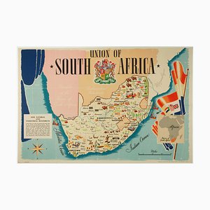
Figura Mappa dell'America

Altri prodotti


Contattaci
Fai un'offerta
Abbiamo notato che sei nuovo su Pamono!
Accetta i Termini e condizioni e l'Informativa sulla privacy
Contattaci
Fai un'offerta
Ci siamo quasi!
Per seguire la conversazione sulla piattaforma, si prega di completare la registrazione. Per procedere con la tua offerta sulla piattaforma, ti preghiamo di completare la registrazione.Successo
Grazie per la vostra richiesta, qualcuno del nostro team vi contatterà a breve.
Se sei un professionista del design, fai domanda qui per i vantaggi del Programma Commerciale di Pamono